Fly over Hong Kong in 3D: a free sightseeing route in the Cessna 172
A free sightseeing route in the Cessna 172: off from Hong Kong International, east over Lantau, a lap of Victoria Harbour and back to land.
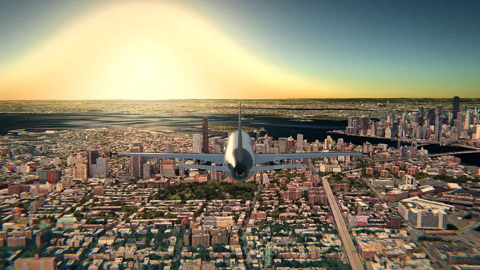
Hong Kong is the city I go back to whenever I want to show somebody what a browser can do. The hills drop straight into the sea, the harbour is never empty, and the towers on both sides of it are tall enough that you have to think about your altitude. It is also the one place in Open Flight World that is free: the Cessna 172 over Hong Kong International (VHHH), in photorealistic 3D, with no account, no ads and no time limit.
So here is a route you can fly tonight without paying anything. It leaves a runway at VHHH, runs east along the north coast of Lantau, crosses the Tsing Ma Bridge, makes a lap of Victoria Harbour with the skyline on both sides, turns over the old Kai Tak site and comes back to land where it started. It takes about forty minutes at Cessna speed. You do not need to know how to fly: the coach calls out every step, and if the landing worries you, the autopilot can fly it while you watch.
Set it up in a minute
In the simulator:
- Aircraft: the Cessna 172. It is the free one, and it is also the right one for this: slow enough to sightsee, honest enough to teach you something.
- Airport: Hong Kong International (VHHH), on a runway pointing east, the 07s. In Open Flight World the wind blows down the runway your flight begins on, so you get a headwind to take off into and the same headwind waiting for you when you come back.
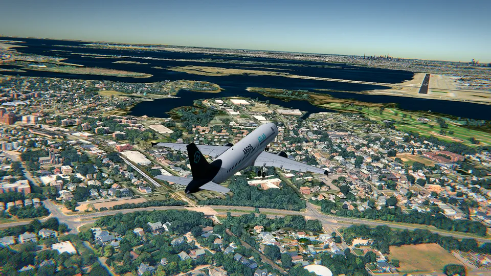
- Graphics: HD. This is the whole point of flying here. In HD the city is Google's photorealistic 3D, under volumetric clouds and with soft shadows, and a building is solid: fly into one and the flight is over.
- Sky: dusk, if you want the lights coming on under you as you cross the harbour. The live weather is the other good answer: whatever Hong Kong has outside right now, with the sun where it really is.
- Coach: leave the simple mode on, and press F1 if you want the controls for your keyboard, mouse or gamepad.
The route at a glance
| Leg | What you do | Altitude |
|---|---|---|
| 1 | Take off east from VHHH, turn right onto the north coast of Lantau | climb to 2,000 ft |
| 2 | Tung Chung, Ma Wan and the Tsing Ma Bridge | 2,000 ft |
| 3 | Into Victoria Harbour, west to east, towers on both sides | 2,000 ft |
| 4 | Turn over Kowloon Bay and the old Kai Tak | 2,000 ft |
| 5 | Back west down the harbour, the Peak on your left | 2,000 ft |
| 6 | Down the north side of the airport, left base, land on 07 | 1,500 ft, then down |
No navigation kit is needed. Everything on this route is something you can see out of the window, which is the nice thing about flying a small aeroplane over a coastline.
Leg 1: off the runway and onto the coast of Lantau
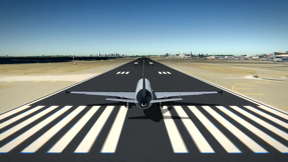
Full power with Shift, keep straight with , and ., and at about 55 knots ease the nose up with ↓. Chek Lap Kok is flat and surrounded by water, so there is nothing to hit while you sort yourself out.
Climb straight ahead until you are clear of the airport, then turn gently right. Lantau is the big green island in front of you, and the town stacked along its north shore is Tung Chung. Level off at 2,000 feet: high enough for the hills inland, low enough that you can still see cars.
Set the power for a cruise of about 100 to 120 knots and trim it so the aircraft flies itself. From here you can mostly just look.
Leg 2: the Tsing Ma Bridge
Follow the coast east with the water on your left. After Tung Chung the shore bends and you will pick up a long suspension bridge crossing to the island of Tsing Yi: that is the Tsing Ma, with a main span of 1,377 m and towers a little over 200 m tall. At 2,000 feet you pass well above the cables, and it looks better from directly overhead than from anywhere else.
Beyond it, the stacks of coloured boxes are the Kwai Chung container terminals, some of the busiest in the world. Keep the nose pointing east and the harbour opens up in front of you.
Leg 3: Victoria Harbour, west to east
This is the part people come for. You enter the harbour between West Kowloon on your left and Hong Kong Island on your right, with water underneath and towers on both sides.
On the left, the tall one on the waterfront is the ICC, 484 m, the tallest building in the city. On the right, Central: the IFC on the water, the bank towers behind it, and above them the ridge that ends in Victoria Peak, 552 m. In round numbers the Peak is about 1,811 feet and the ICC about 1,588, so 2,000 feet keeps you above everything with room to spare. Hold that altitude. In HD the geometry is real and so are the consequences.
Fly the harbour slowly. Look left and right, and look down at the ferries: the ships at sea in Open Flight World are the real ones, where they are now, a few seconds behind, and so are the aircraft around you. If you have ever wondered how that works, it is explained in real-time weather and live air traffic.
Leg 4: the turn over Kai Tak
Where the harbour narrows at the east end, the flat strip of reclaimed land sticking out into Kowloon Bay is the old Kai Tak airport. Until 1998 airliners came over the rooftops of Kowloon City, picked up an orange and white checkerboard painted on a hillside and turned 47 degrees by hand to line up with runway 13, a few hundred feet above the washing lines. The runway is a cruise terminal now. If that story is new to you, I wrote about it in Kai Tak vs Hong Kong International.
Make your turn here, to the left and over the bay, and come back out the way you came.
Leg 5: the skyline again, the other way round
Westbound you get the better view, because Hong Kong Island is now on your left with the Peak behind it, and at dusk the whole north shore is lit. Stay at 2,000 feet, stay over the water, and let the city go past.
Past Green Island the harbour opens into open sea. Pick up the container port and the Tsing Ma Bridge again, cross back over Ma Wan, and start thinking about the landing: power back a touch with Ctrl and let the aircraft come down to 1,500 feet as you pass Tung Chung.
Leg 6: the landing
Fly down the north side of the airport, heading roughly west, at 1,500 feet and 90 knots or so, with the runways out of your left window. That is the downwind leg for 07.
When the near end of the runway is behind your left shoulder, turn left onto base, and put out the first notch of flaps with [ once you are below 85 knots. Turn left again onto final, add the second and third notches as the speed settles, and aim for about 65 knots with full flaps. The PAPI lights beside the runway tell you the rest: two white and two red means you are on the 3-degree path.
Just above the runway, power to idle with Ctrl and raise the nose gently. Main wheels first, nosewheel down with ↑, brakes with Space. If any of that went sideways, the full version is in how to land a Cessna 172, and you can always press R to start the flight again.
Three things that make it look better
- Change camera. Press C for the chase view when you cross the harbour. It is the shot everybody screenshots.
- Fly it twice, once at dusk and once at night. Same route, completely different city.
- Watch the arrivals. Hong Kong International is busy, and the traffic in the simulator is the real traffic. Starting your own flight parked beside a real aircraft that is airborne at that moment is an All Access feature, but watching them come in costs nothing.
When you want more than Hong Kong
Hong Kong is free because I wanted the free version to be a real place, not a demo. When you have flown it enough, the paid part opens the rest of the planet in 3D with Google's photorealistic cities, every other airport and the other nine aircraft, from the Cirrus SR22 and the Pilatus PC-12 to the A380 and the F-16. You can unlock one aircraft or one airport and keep it for good, or take All Access. The details are on the pricing page and the fleet is on the aircraft page. For ideas on where to go next, try the best airports to fly in a flight simulator.
Frequently asked questions
Can I really fly over Hong Kong for free?
Yes. The Cessna 172 over Hong Kong International (VHHH) is free in Open Flight World, in photorealistic 3D, with no account, no ads and no time limit. The whole route in this article stays over Hong Kong, so it costs nothing. The rest of the planet in 3D, the other nine aircraft and every other airport are the paid part.
How long does the route take?
About forty minutes in the Cessna 172 at a cruise of around 120 knots, including the takeoff and the landing. You can cut it in half by turning back as soon as you have crossed Victoria Harbour once.
How high should I fly over the skyline?
Two thousand feet is a good number. The tallest tower in Hong Kong, the ICC in West Kowloon, is 484 m, about 1,588 feet, and Victoria Peak is 552 m, about 1,811 feet. In HD graphics a building is solid, so flying lower than the roofs between the towers is a real risk.
Do I need a joystick?
No. A keyboard is enough, and a mouse or a gamepad works too. In the simple mode the coach tells you the next step with the key or button of whatever device you are using.
What if I cannot land it?
Let the autopilot do it the first time. It flies the approach to any runway on a 3-degree path, flares, brakes and stops on the centreline, and watching it once from the chase camera is the fastest way to learn what a stable approach looks like.